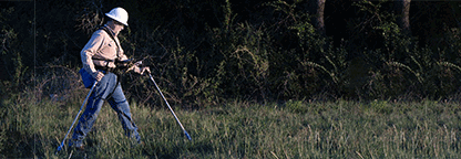
Request a DVM Calibration
Getting ready for survey season? Request a calibration for your DVM!


COMING SOON
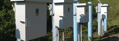
The next generation of Bullhorn RM5 test point remote monitors puts your needs front and center.
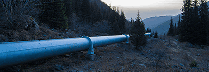
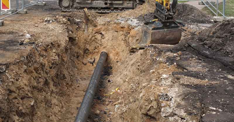
American Innovations helps to keep pipeline infrastructure safe and compliant, with ease. By helping you capture high-quality data on oil and gas assets, AI provides powerful capabilities to manage, analyze, and collaborate to give your data meaningful context. This includes data collection, data management, analysis, modeling, reporting and, of course, strategy.
Getting ready for survey season? Request a calibration for your DVM!
OUR SOLUTIONS
Featured Video
Join Materials Performance magazine editor Rebecca Bickham and American Innovations CEO Ed Kruft as they discuss how technology is driving innovation in cathodic protection workflows, what that means for managing cathodic protection assets, and how collecting the right data at the right place at the right time is essential for the industry.
Watch the Video
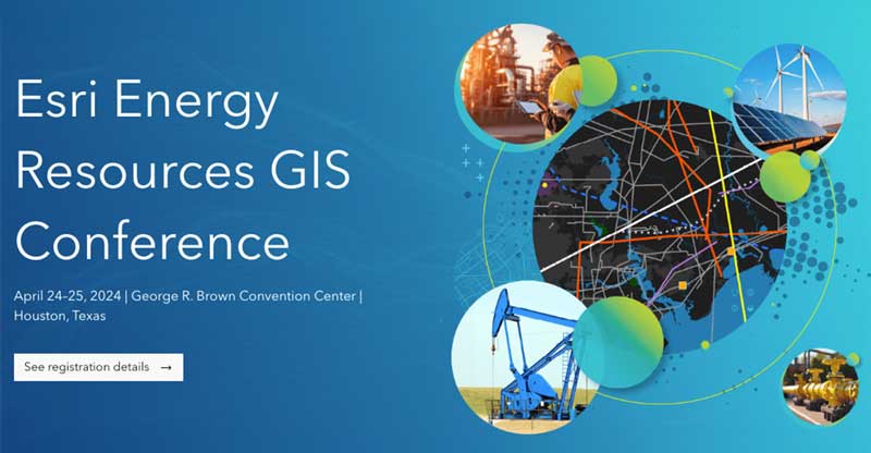
View Event![]()

View Event![]()
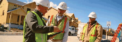
To learn more about our products, get in touch with our sales team.